File:Italy topographic map-blank.svg

Size of this PNG preview of this SVG file: 487 × 600 pixels. Other resolutions: 195 × 240 pixels | 390 × 480 pixels | 623 × 768 pixels | 831 × 1,024 pixels | 1,662 × 2,048 pixels | 1,759 × 2,167 pixels.
ʻAsi ʻa e faitā auiiki ((Faile SVG, lau pē 1,759 × 2,167 meʻaʻata, ko e faile hono lahi: 1.98 MB))

Fakanounou
| Fakamahino |
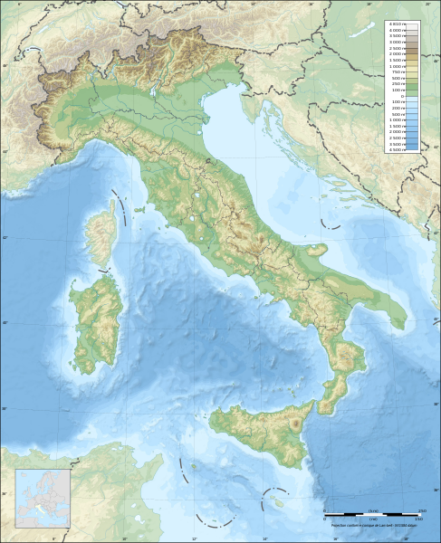
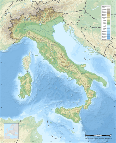
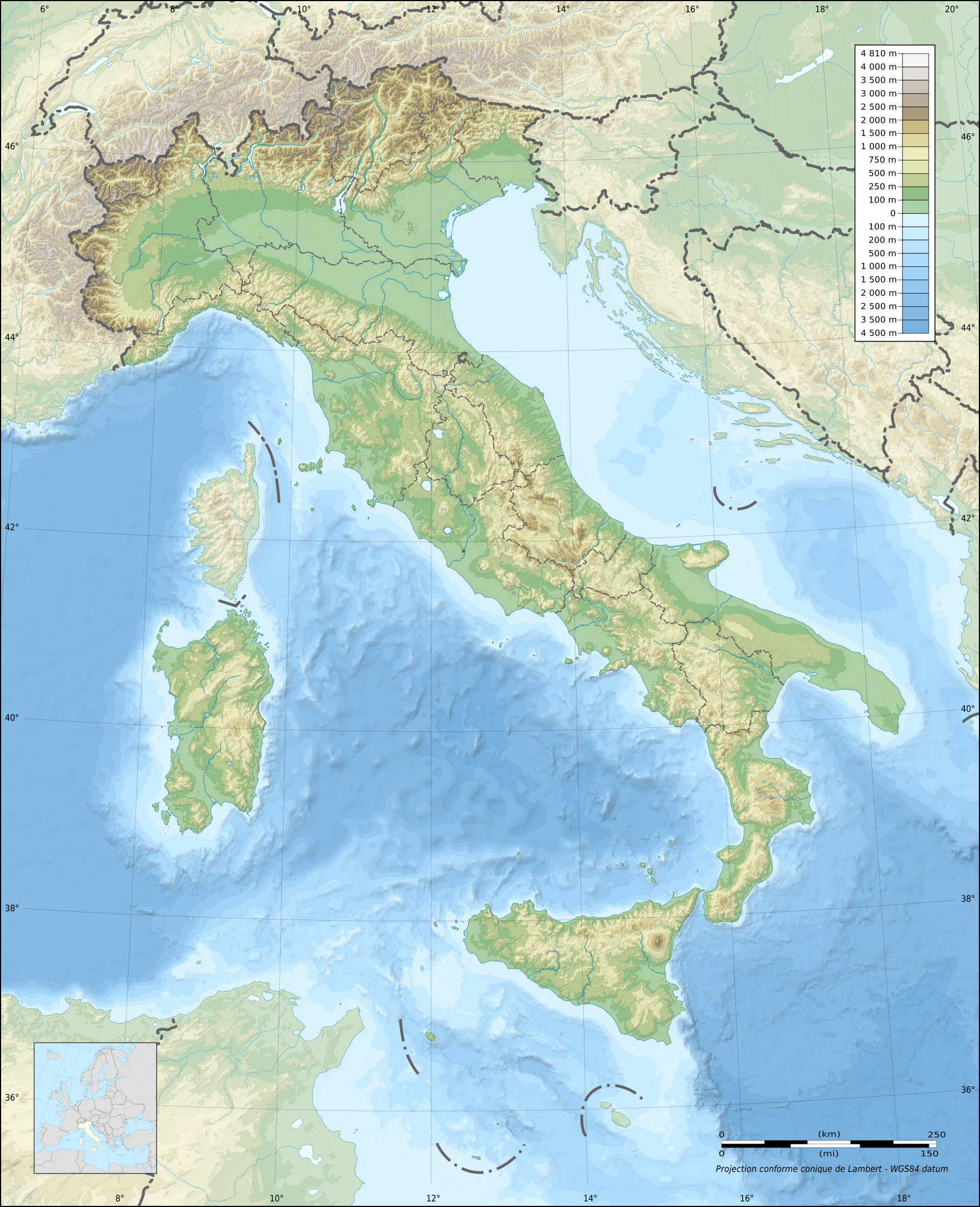
English: Blank topographic map of Italy, with regions boundaries and including the 08-2009 modification of the boundary between Emilia-Romagna and Marches regions.
Note: The background map is a raster image embedded in the SVG file. Français : Carte topographique vierge de l'Italie, avec limites des régions et intégrant la modification d'août 2009 de la frontière entre les régions Emilia-Romagna et Marches.
Note : Le fond de carte est une image bitmap embarquée dans le fichier SVG. Deutsch: Topografische Karte Italiens, mit den Grenzen der Regionen (einschließlich der Änderungen im August 2009 zwischen den Regionen Emilia-Romagna und Marken) ohne Beschriftung. Hinweis: Der Hintergrund ist ein Rasterbild, eingebettet in die SVG-Datei. Lambert conformal conic projection; WGS84 datum
|
| Date | |
| Tupunga |
Own work
|
| Author | Eric Gaba (Sting - fr:Sting) |
| Permission (Reusing this file) |
This file is licensed under the Creative Commons Attribution-Share Alike 3.0 Unported license.
|
| Other versions |
Derivative works of this file:
|

| Attribution and Share-Alike required |
|---|
| Any use of this map can be made as long as you credit me (Eric Gaba – Wikimedia Commons user: Sting) as the author, User:NordNordWest for the regions boundaries, and distribute the copies and derivative works under the same license(s) that the one(s) stated below. A message with a reply address would also be greatly appreciated. |
| Camera location | | View this and other nearby images on: OpenStreetMap |
|---|
Laiseni:
I, the copyright holder of this work, hereby publish it under the following licenses:

|
Permission is granted to copy, distribute and/or modify this document under the terms of the GNU Free Documentation License, Version 1.2 or any later version published by the Free Software Foundation; with no Invariant Sections, no Front-Cover Texts, and no Back-Cover Texts. A copy of the license is included in the section entitled GNU Free Documentation License. |
This file is licensed under the Creative Commons Attribution-Share Alike 3.0 Unported license.
- You are free:
- to share – to copy, distribute and transmit the work
- to remix – to adapt the work
- Under the following conditions:
- attribution – You must give appropriate credit, provide a link to the license, and indicate if changes were made. You may do so in any reasonable manner, but not in any way that suggests the licensor endorses you or your use.
- share alike – If you remix, transform, or build upon the material, you must distribute your contributions under the same or compatible license as the original.
You may select the license of your choice.
Hisitōlia ʻo e faile
Lomiʻi ha ʻaho/taimi ki he vakai ʻo e faile naʻe ʻi ai he taimi ko iá.
| ʻAho/Taimi | ʻAtasiʻi | Hono lahi | ʻEtita | Fakamatala | |
|---|---|---|---|---|---|
| taka | 21:13, 17 Siulai 2010 | | 1,759 × 2,167 (1.98 MB) | Sting | Oups! Not the correct background |
| 21:05, 17 Siulai 2010 |  | 1,759 × 2,167 (2.17 MB) | Sting | Color profile: better unsaturated colors than over-saturated ones in non color managed browsers | |
| 14:16, 14 Sēpitema 2009 |  | 1,759 × 2,167 (1.96 MB) | Sting | updating borders after important variation (http://www.gazzettaufficiale.it/guridb/dispatcher?service=1&datagu=2009-08-14&task=dettaglio&numgu=188&redaz=009G0127&tmstp=1250276942469) - cf File:Italy_location_map.svg ; + several other improvements | |
| 04:07, 26 ʻEpeleli 2009 |  | 1,759 × 2,167 (1.77 MB) | Sting | == Summary == {{Location|42|00|00|N|12|00|00|E|scale:5000000}} <br/> {{Information |Description={{en|Blank topographic map of Italy, with regions boundaries.<br/>''Note:'' The background map is a raster image embedded in the SVG file.}} {{fr |
Faitā fehokotaki
ʻOku fehokotaki ʻa e ngaahi peesi ki he failé ni:
Global file usage
The following other wikis use this file:
- Usage on ar.wikipedia.org
- Usage on ast.wikipedia.org
- Usage on azb.wikipedia.org
- بولونیا
- اسکافاتی
- سیراکوز
- مونتزا
- جیوگلیانو
- لاتینا
- ساساری
- فرارا
- سالرنو
- ریمینی
- فوجا
- لیورنو
- راونا
- پروجا
- رجیو نل امیلیا
- رجیو کالابریا
- پراتو
- پارما
- برشا
- تریسته
- پادووا
- مسینا
- ونیز
- کاتانیا
- باری
- فلورانس
- جینووا
- تورین
- ناپول
- پوتزولی
- سستو سان جووانی
- گروستو
- مارسالا
- بوستو آرسیتسیو
- ترویزو
- کومو
- توره دل گرکو
- بریندیزی
- لوکا
- گیدونیا مونتچلیو
- کاتانزارو
- لا اسپتزیا
- آلساندریا
- پزارو
- بارلتا
- لچه
- چزنا
View more global usage of this file.