File:Bonaire Salt Pier.jpg

Size of this preview: 800 × 600 pixels. Other resolutions: 320 × 240 pixels | 640 × 480 pixels | 1,024 × 768 pixels | 1,280 × 960 pixels | 2,560 × 1,920 pixels | 3,648 × 2,736 pixels.
ʻAsi ʻa e faitā auiiki ((3,648 × 2,736 meʻaʻata, ko e faile hono lahi: 2.36 MB, faʻahinga MIME: image/jpeg))
Fakanounou
| Camera location | | View this and other nearby images on: OpenStreetMap |
|---|
| Fakamahino |
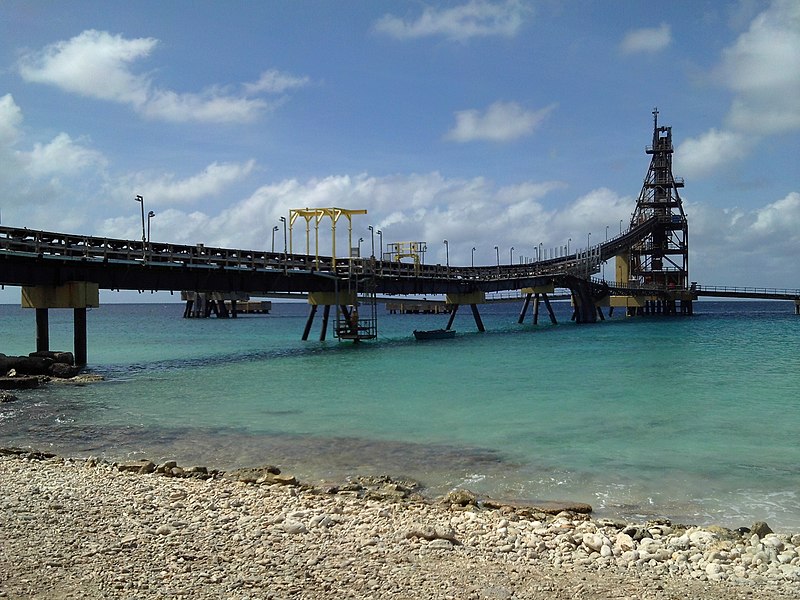
Français : Le terminal de chargement de sel à Bonaire
English: Salt pier in Bonaire |
||
| Date | |||
| Tupunga | Own work | ||
| Author | Utilisateur:Bel Adone | ||
| Permission (Reusing this file) |
|
Hisitōlia ʻo e faile
Lomiʻi ha ʻaho/taimi ki he vakai ʻo e faile naʻe ʻi ai he taimi ko iá.
| ʻAho/Taimi | ʻAtasiʻi | Hono lahi | ʻEtita | Fakamatala | |
|---|---|---|---|---|---|
| taka | 13:47, 9 Sānuali 2020 | | 3,648 × 2,736 (2.36 MB) | Bel Adone | {{Information |description ={{en|1=fgh}} {{fr|1=gfh}} |date = |source ={{own}} |author =User:Bel Adone |permission =gfh |other versions=fgh }} gfh |
Faitā fehokotaki
ʻOku fehokotaki ʻa e ngaahi peesi ki he failé ni:
Global file usage
The following other wikis use this file:
- Usage on en.wikipedia.org
- Usage on es.wikipedia.org
- Usage on fr.wikipedia.org
- Usage on id.wikipedia.org
- Usage on nl.wikipedia.org
- Usage on sl.wikipedia.org