File:BRA orthographic.svg

Size of this PNG preview of this SVG file: 551 × 551 pixels. Other resolutions: 240 × 240 pixels | 480 × 480 pixels | 768 × 768 pixels | 1,024 × 1,024 pixels | 2,048 × 2,048 pixels.
ʻAsi ʻa e faitā auiiki ((Faile SVG, lau pē 551 × 551 meʻaʻata, ko e faile hono lahi: 1.41 MB))
Fakanounou
| Fakamahino |
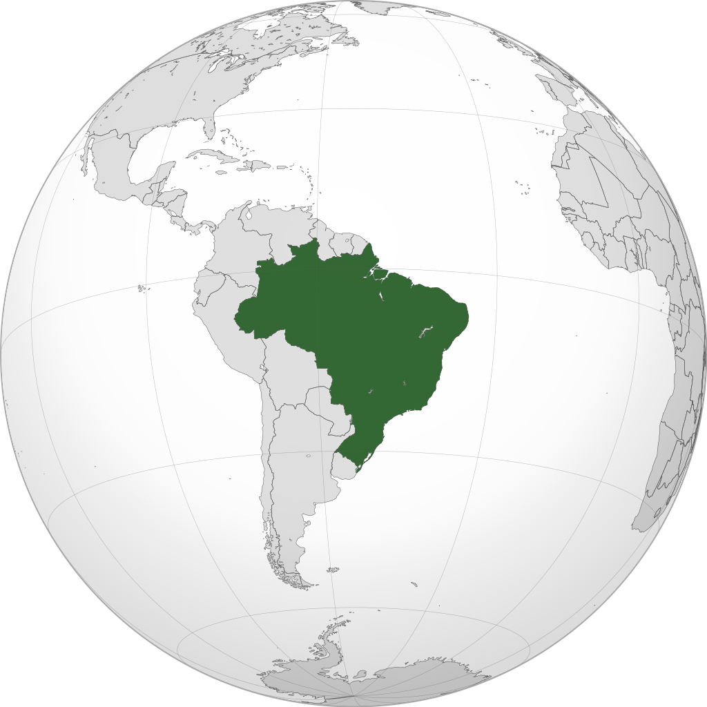
English: A map of the hemisphere centred on -54, -14, using an orthographic projection, created using gringer's Perl script with Natural Earth Data (1:50000 resolution, simplified to 0.25px). Brazil is highlighted in green. |
| Date | |
| Tupunga | Own work using: Natural Earth Data |
| Author | Addicted04 |
| SVG genesis |
.svg)
.svg)
.svg)
.svg)
.svg)
.svg)
.svg)
.svg)
.svg)
.svg)
.svg)
.svg)
.svg)
.svg)
.svg)
.svg)
.svg)
.svg)
.svg)
.svg)
.svg)
.svg)
.svg)
.svg)
.svg)
.svg)
.svg)
.svg)
.svg)
.svg)
.svg)
.svg)
.svg)
.svg)
.svg)
.svg)
.svg)
.svg)
.svg)
.svg)
.svg)
.svg)
.svg)
.svg)
.svg)
.svg)
.svg)
.svg)
.svg)
.svg)
.svg)
.svg)
.svg)
.svg)
.svg)
.svg)
.svg)
.svg)
.svg)
.svg)
.svg)
.svg)
.svg)
.svg)
.svg)
.svg)
.svg)
.svg)
.svg)
.svg)
.svg)
.svg)
.svg)
.svg)

.svg)

.svg)

.svg)
.svg)
.svg)
.svg)
.svg)
.svg)
.svg)


.svg)
.svg)
.svg)
.svg)
.svg)
.svg)
.svg)

.svg)
.svg)
.svg)
.svg)
.svg)
.svg)
.svg)
.svg)
.svg)

.svg)
.svg)
.svg)
.svg)
.svg)
.svg)
.svg)
_without_national_boundaries.svg)
.svg)
.svg)
.svg)
.svg)
.svg)
.svg)

.svg)
.svg)
.png)
.svg)
.svg)
.svg)
.svg)

.svg)
.svg)
.svg)
.svg)
.svg)
.svg)
.svg)
.svg)
.svg)
.svg)
.svg)

.svg)
.svg)
.svg)
.svg)
.svg)
.svg)
.svg)
.svg)
.svg)

.svg)
.svg)

.svg)
.svg)
.svg)
.svg)
.svg)
.svg)
.svg)
.svg)
.svg)
.svg)
.svg)
.svg)
.svg)
.svg)
.svg)
.svg)
.svg)
.svg)
.svg)
.svg)
.svg)
.svg)
.svg)
.svg)
.svg)
.svg)
.svg)
_-_Crimea_disputed.svg)
.svg)
.svg)
.svg)
.svg)
.svg)
.svg)
.svg)
.svg)
.svg)
.svg)
.svg)
_political.svg)
.svg)
.svg)
.svg)
.svg)
_-_Crimea_disputed_-_no_borders.svg)
.svg)
.svg)
.svg)
.svg)
.svg)
.svg)
.svg)
.svg)
.svg)
.svg)
.svg)

.svg)
.svg)
.svg)

.png)
.svg)
.svg)
.svg)
.svg)
.svg)
.svg)
.svg)
.svg)
.svg)
.svg)
.svg)
.svg)
.svg)
.svg)
.svg)
.svg)
.svg)
.svg)
.svg)
.svg)
.svg)
.svg)
.svg)
.svg)
.svg)
.svg)
.svg)
.svg)
.svg)
.svg)
.svg)
.svg)
.svg)
.svg)
.png)
.svg)
.svg)
.svg)
_(orthographic_projection).png)
| Orthographic projections maps created by Ssolbergj |
|---|
| Orthographic projections maps created by Ssolbergj: |
.svg)
.svg)
Laiseni:
I, the copyright holder of this work, hereby publish it under the following license:
This file is licensed under the Creative Commons Attribution-Share Alike 3.0 Unported license.
- You are free:
- to share – to copy, distribute and transmit the work
- to remix – to adapt the work
- Under the following conditions:
- attribution – You must give appropriate credit, provide a link to the license, and indicate if changes were made. You may do so in any reasonable manner, but not in any way that suggests the licensor endorses you or your use.
- share alike – If you remix, transform, or build upon the material, you must distribute your contributions under the same or compatible license as the original.
Hisitōlia ʻo e faile
Lomiʻi ha ʻaho/taimi ki he vakai ʻo e faile naʻe ʻi ai he taimi ko iá.
| ʻAho/Taimi | ʻAtasiʻi | Hono lahi | ʻEtita | Fakamatala | |
|---|---|---|---|---|---|
| taka | 06:56, 6 Sānuali 2015 | | 551 × 551 (1.41 MB) | Denniss | Reverted to version as of 15:23, 19 January 2014 |
| 00:50, 6 Sānuali 2015 |  | 2,000 × 1,700 (765 KB) | Mondolkiri1 | Novo upload para corrigir o arquivo - Brasil no contexto da UNASUL | |
| 00:37, 6 Sānuali 2015 |  | 744 × 1,052 (927 KB) | Mondolkiri1 | Brasil na UNASUL (Verde claro) | |
| 15:23, 19 Sānuali 2014 |  | 551 × 551 (1.41 MB) | Addicted04 | New map | |
| 17:57, 14 ʻOkatopa 2011 |  | 550 × 550 (847 KB) | Addicted04 | Circule border | |
| 22:36, 12 ʻOkatopa 2011 |  | 550 × 550 (846 KB) | Addicted04 |
Faitā fehokotaki
ʻOku fehokotaki ʻa e ngaahi peesi ki he failé ni:
Global file usage
The following other wikis use this file:
- Usage on ar.wikipedia.org
- البرازيل
- برتغالية برازيلية
- مستخدم:جار الله/قائمة صور مقالات العلاقات الثنائية
- العلاقات الأنغولية البرازيلية
- العلاقات البرازيلية الكورية الجنوبية
- العلاقات البرازيلية الإريترية
- العلاقات البرازيلية السويسرية
- العلاقات الألمانية البرازيلية
- العلاقات البرازيلية الليختنشتانية
- العلاقات البرازيلية البوليفية
- العلاقات البرازيلية الموزمبيقية
- العلاقات البرازيلية البلجيكية
- العلاقات البرازيلية الإثيوبية
- العلاقات البرازيلية البيلاروسية
- العلاقات البرازيلية الطاجيكستانية
- العلاقات البرازيلية الروسية
- العلاقات البرازيلية الرومانية
- العلاقات البرازيلية الغامبية
- العلاقات البرازيلية القبرصية
- العلاقات البرازيلية السيراليونية
- العلاقات البرازيلية النيبالية
- العلاقات البرازيلية الليبيرية
- العلاقات البرازيلية التشيكية
- العلاقات البرازيلية الميانمارية
- العلاقات البرازيلية الكندية
- العلاقات البرازيلية الزيمبابوية
- العلاقات البرازيلية البالاوية
- العلاقات البرازيلية المالية
- العلاقات البرازيلية النيجيرية
- العلاقات البرازيلية اليمنية
- العلاقات البرازيلية الفانواتية
- العلاقات البرازيلية الغابونية
- العلاقات البرازيلية البنمية
- العلاقات البرازيلية الكوبية
- العلاقات البرازيلية الجورجية
- العلاقات البرازيلية التونسية
- العلاقات البرازيلية الكورية الشمالية
- العلاقات البرازيلية الهندية
- العلاقات البرازيلية اليابانية
- العلاقات البرازيلية الإيطالية
- العلاقات البرازيلية الناوروية
- العلاقات الأسترالية البرازيلية
- العلاقات البرازيلية الزامبية
- العلاقات البرازيلية الفيجية
- العلاقات البرازيلية المارشالية
- العلاقات الأذربيجانية البرازيلية
- العلاقات البرازيلية السودانية
- العلاقات البرازيلية الكويتية
- العلاقات البرازيلية الكونغوية
- العلاقات البرازيلية الدومينيكانية
View more global usage of this file.