File:Aerial photo Port Stanley.jpg
Size of this preview: 800 × 600 pixels. Other resolutions: 320 × 240 pixels | 640 × 480 pixels | 1,024 × 768 pixels | 1,280 × 960 pixels | 1,600 × 1,200 pixels.
ʻAsi ʻa e faitā auiiki ((1,600 × 1,200 meʻaʻata, ko e faile hono lahi: 220 KB, faʻahinga MIME: image/jpeg))
| Camera location | | View this and other nearby images on: OpenStreetMap |
|---|
Fakanounou
This image was copied from wikipedia:en. The original description was:
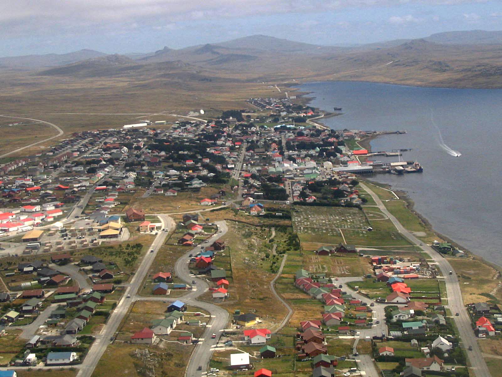
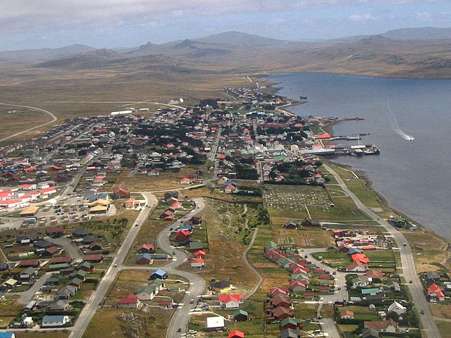
Port Stanley, from the air, 2005/02, by Tom L-C.
| date/time | username | edit summary |
|---|---|---|
| 22:16, 15 February 2005 | Tom L-C | (GFDL) |
| 22:13, 15 February 2005 | Tom L-C | (Port Stanley, from the air) |
Laiseni:

|
Permission is granted to copy, distribute and/or modify this document under the terms of the GNU Free Documentation License, Version 1.2 or any later version published by the Free Software Foundation; with no Invariant Sections, no Front-Cover Texts, and no Back-Cover Texts. A copy of the license is included in the section entitled GNU Free Documentation License. |
| This file is licensed under the Creative Commons Attribution-Share Alike 3.0 Unported license. | ||
| ||
| This licensing tag was added to this file as part of the GFDL licensing update. |
Hisitōlia ʻo e faile
Lomiʻi ha ʻaho/taimi ki he vakai ʻo e faile naʻe ʻi ai he taimi ko iá.
| ʻAho/Taimi | ʻAtasiʻi | Hono lahi | ʻEtita | Fakamatala | |
|---|---|---|---|---|---|
| taka | 20:26, 2 Sēpitema 2013 | | 1,600 × 1,200 (220 KB) | Hohum | Levels |
| 19:03, 11 ʻAokosi 2005 |  | 1,600 × 1,200 (193 KB) | Head | This image was copied from wikipedia:en. The original description was: Port Stanley, from the air, 2005/02, by Tom L-C. {{GFDL}} {| border="1" ! date/time || username || edit summary |---- | 22:16, 15 February 2005 || Tom L-C || <nowik |
Faitā fehokotaki
ʻOku fehokotaki ʻa e ngaahi peesi ki he failé ni:
Global file usage
The following other wikis use this file:
- Usage on af.wikipedia.org
- Usage on ar.wikipedia.org
- Usage on arz.wikipedia.org
- Usage on ast.wikipedia.org
- Usage on azb.wikipedia.org
- Usage on az.wikipedia.org
- Usage on bat-smg.wikipedia.org
- Usage on be-tarask.wikipedia.org
- Usage on be.wikipedia.org
- Usage on bg.wikipedia.org
- Usage on bn.wikipedia.org
- Usage on br.wikipedia.org
- Usage on bs.wikipedia.org
- Usage on ca.wikipedia.org
- Usage on ceb.wikipedia.org
- Usage on cs.wikipedia.org
- Usage on da.wikipedia.org
- Usage on de.wikipedia.org
- Usage on de.wikivoyage.org
- Usage on el.wikipedia.org
- Usage on en.wikipedia.org
- Usage on en.wikivoyage.org
- Usage on eo.wikipedia.org
- Usage on es.wikipedia.org
View more global usage of this file.